Tschintiessteiss: Difference between revisions
Jump to navigation
Jump to search
Content added Content deleted
imported>Marie No edit summary |
imported>Marie No edit summary |
||
| Line 1: | Line 1: | ||
{{Infobox country |
{{Infobox country |
||
|conventional_long_name = Kingdom of Tschintiessteiss <!--Formal or official full name of the country in English--> |
|conventional_long_name = Kingdom of Tschintiessteiss <!--Formal or official full name of the country in English--> |
||
| − | |native_name = |
+ | |native_name = ''Tschörntischee'' <!--Country's name (usually full name) in its native language, hence in italics (double quotemarks)--> |
|common_name = Tschintiessteiss <!--Common name in English (used for wikilinks and to produce a default iso3166 code)--> |
|common_name = Tschintiessteiss <!--Common name in English (used for wikilinks and to produce a default iso3166 code)--> |
||
|image_flag = Flag-Tschintiesteiss.png <!--e.g. Flag of country.svg--> |
|image_flag = Flag-Tschintiesteiss.png <!--e.g. Flag of country.svg--> |
||
Revision as of 20:08, 12 March 2021
Kingdom of Tschintiessteiss Tschörntischee | |
|---|---|
|
Flag | |
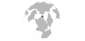
 TSC (and colonies) within the Gintem Confederation. | |
| Capital | X |
| Official languages | Tschintierst |
| Demonym(s) | Tschintierst |
| Government | Monarchy |
| Area | |
• | 360,146 km2 (139,053 sq mi) |
Tschintiessteiss (Tschintierst: Tschörntischee) is a country located in Northeastern Yazzerland. Because of its long name, it is often referred to as simply “TSC.”
